The Federal Aviation Administration (FAA) has defined an unmanned aircraft system (UAS), sometimes called unmanned aerial vehicle, as an aircraft without a human pilot onboard – instead, the UAS is controlled from an operator on the ground. The use of UAS is rapidly growing among agriculture researchers and crop consultants, forestry and natural resource management.
UAV’s have become popular platforms for remote-sensing applications, particularly when spaceborne technology, manned airborne techniques, and in situ methods are not as efficient for various reasons. These reasons include the temporal and spatial data resolutions, accessibility over time and space, cost efficiency, and operational safety. The low operational cost, high temporal and spatial resolutions, easy-to-use controlling systems and high flexibility in image acquisition and planning make UAS very popular compared to other remote sensing systems.
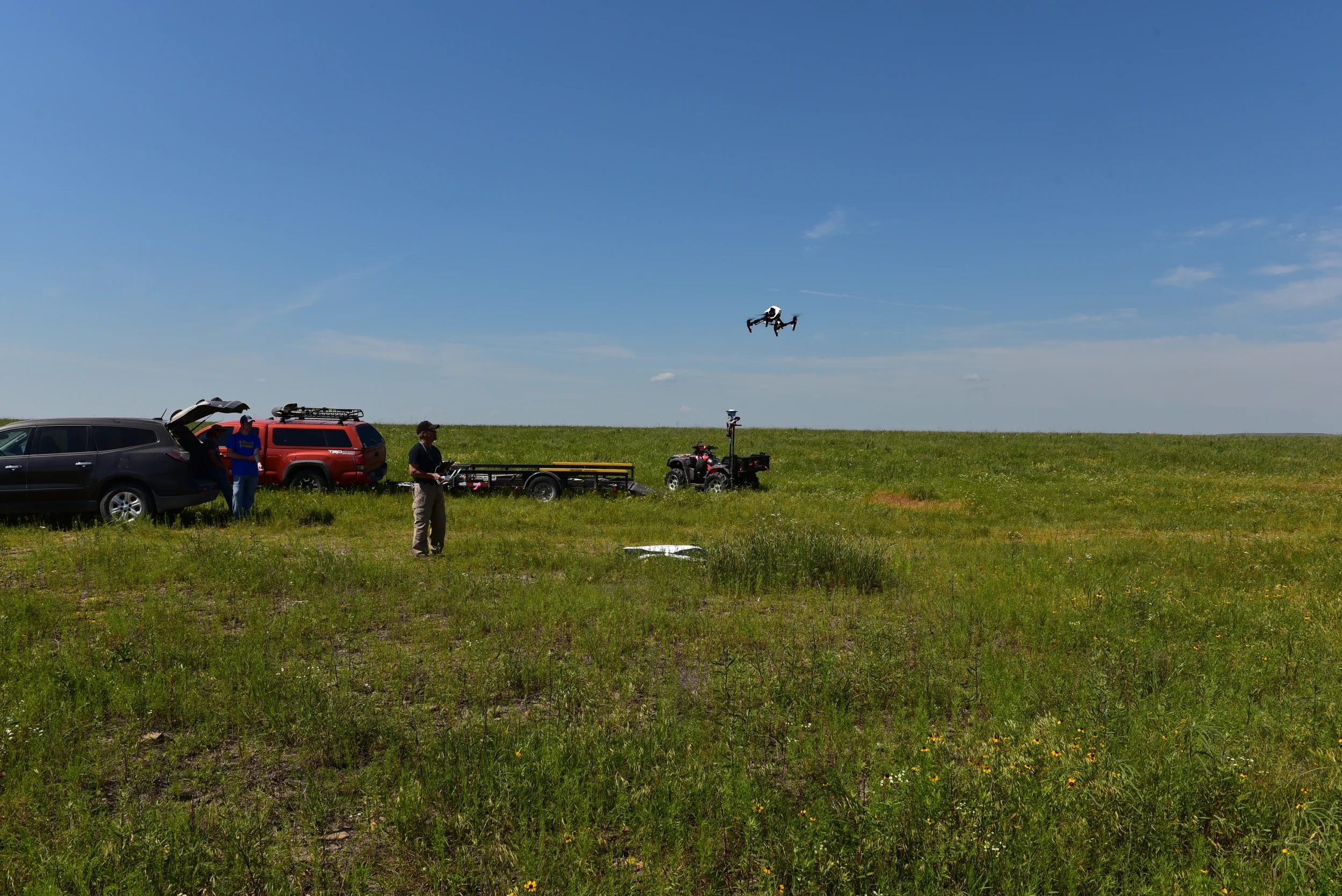
The use of UAV in natural resource and wildlife management has become a very useful tool with its high resolution and flexible sensor payload deployment options. The use of UAV Land management has also seen a marked increase with the advent of small form factor LIDAR and SAR sensors allowing people to see objects through clutter on the ground, which might not show up to the regular eye. Sometimes, patterns become more apparent in the 3D model.
We have been working with a number of universities, conservancies, land managers and private companies for the last 8 years to develop hardware, software and methodologies that will leverage these new technologies for better resource management.
Services Include:
- Land Survey Mapping
- Habitat Mapping
- Invasive Species Surveys
- Impacts Mapping and Analysis
- Natural Resource Mapping and Analysis
- Site Inspection Mapping
- Submerged Aquatic Vegetation Mapping
- Wildlife Surveys and Mapping
- Multi-spectral, Hyper-spectral and Thermal Infrared Mapping
- Lidar and SAR Mapping
- Aerial Data Analysis and Interpretation