What is GIS, the power of mapping. A geographic information system (GIS) lets us visualize, question, analyze, and interpret data to understand relationships, patterns, and trends. All types of geo-spatial data can be captured and stored for better project management. GIS really comes down to four simple ideas, capture data, manage it, analyze it and display it.
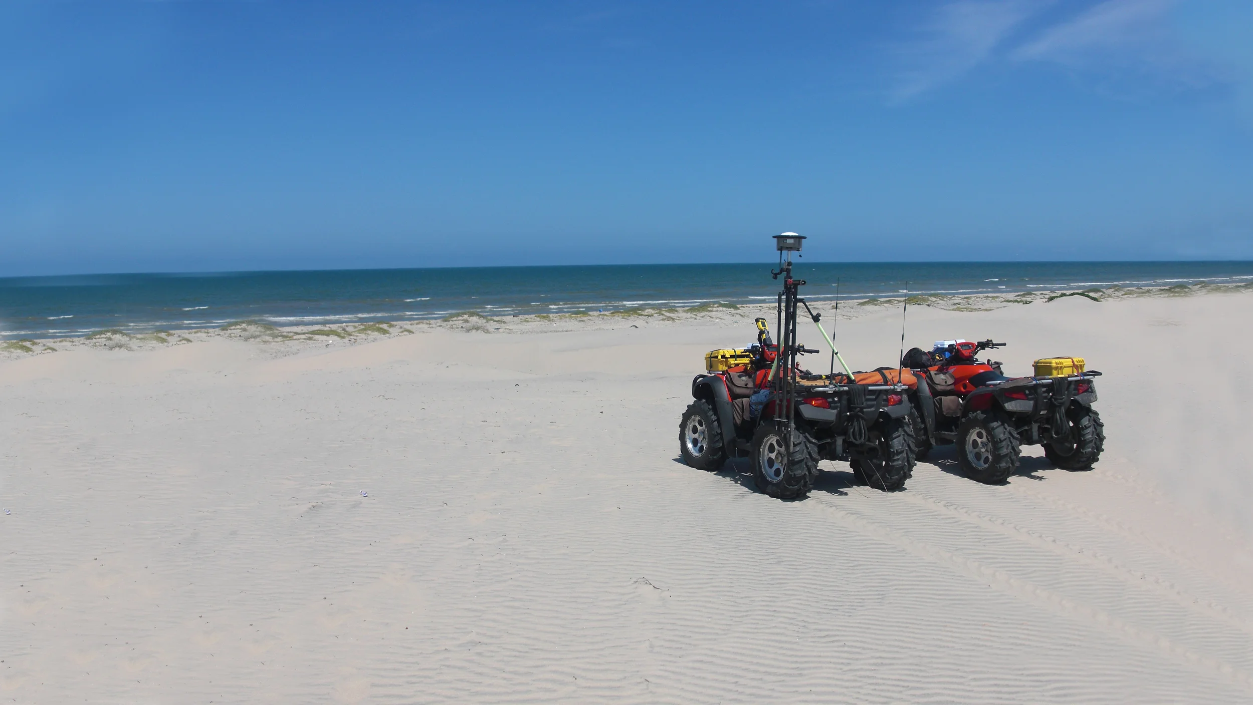
With our expert staff of competent geospatial professionals, we utilize industry standard methods merged with bold cutting edge technology to acquire accurate spatial data to support each of our project objectives. From satellites in space, as well as advanced unmanned aerial systems, to mobile GPS rovers on the ground and boats on the water, we collect timely accurate data to create a rich dynamic 3D environment so project success is assured.
Services Include:
- GIS Database Development and Management
- Statistical Analysis and Modelling
- Website Development
- Full Land Survey Services
- Remote Sensing
- Real-Time 3D Web Based Mapping
- Land Cover-Vegetation data collection and indexing
- Land Use Planning
- Mitigation Site Assessments
- Habitat Cover Mapping
- Digital Terrain Modelling
- UAS Aerial Mapping
- Aerial Data Analysis and Interpretation
- Submerged Aquatic Vegetation surveys
- Bathymetric Surveys
- Water levels studies and datum computations
- High Tide Line determinations for jurisdictional compliance
- Environmental Sampling and Analysis